Home Dolomites Summer Drei Zinnen Hiking Summer walk around: Cherchio Sylvesto Kreis
 Drei Zinnen / Three Peaks
Summer walk around: Cherchio Sylvesto Kreis
Medium
The river Silvesterbach has shaped the area around Dobbiaco/Toblach very significantly: the watershed was moved from Versciaco/Vierschach to Dobbiaco/Toblach, earth pyramids were created, but also deep trenches, the expansion of which has been slowed down for some time by the torrent construction. The Sylvesto circular hiking trail is to be on the following seven Provide insights into the eventful history of Dobbiaco/Toblach and the river Silversterbach: old San Silvestro/Wahlern, the earth pyramids, the fortifications, the greening measures in the trenches, the San Silvestro/Silvester spring, the San Silvestro/Silvester chapel and the periadriatic seam (an important geological fracture zone) at the bottom corner.
You can find detailed information on the individual stations in the following blog www.sylvesto-kreis.blogspot.com.
How to reach Toblach/Dobbiaco: https://www.drei-zinnen.info/en/dobbiaco/dobbiaco/contact-and-service/arrival-mobility.html
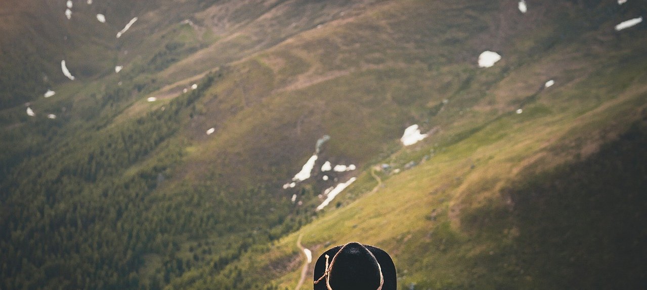
The Sylvesto circular hike begins in the village center of Toblach/Dobbiaco and leads along hiking trail no.1 always along the Silvester/San Silvestro river into the Silvestertal/Valle San Silvestro valley. Shortly after the village of Wahlen/San Silvestro the trail on the right-hand side leads to the "Schönegger Säge". From there the forest path no. 1 starts to the Silvesteralm/Malga San Silvestro hut. From here, path no. 1A leads to the Bodeneck and further along path no. 14 in the direction of the Chapel Silvesterkapelle/San Silvestro. Shortly before the chapel, the path no. 21 branches off to the left towards the Steinbergalm/Malga Steinberg hut. After about 5 minutes on foot, a fence is overcome in a sharp left-hand bend (seen from above) on the military road that leads up to the Marchkinkele. The path leads straight through the forest, past a gate, to the Steinbergalm/Malga Steinberg hut. At the hut, path no. 1 continues straight until path no. 19 turns on the left, which leads in steep switchbacks to the upper hut (not served) and to the Silvester/San Silvestro spring.
On the right side of the upper hut there is located the little hidden spring.
The circular hike continues on trail no.19 towards Bonner hut. At first relatively flat, then slightly rising up to the "Schlichten".
This section offers a wonderful view of the Plankental and the opposite Dolomite peaks.
The hiking trail leads slightly downhill from the "Schlichten" and ends in path no. 5, which leads from the Steinbergalm hut towards the Bonner hut. This path leads slightly uphill to just before the Bonner hut, where, at an acute angle, path no. 20 goes downhill, past the Wildbachhütte, to the Pfanngatter. Follow hiking trail no. 25, which is paved in places, downhill until shortly after the gate. There, path No. 5B branches off left into the forest. This leads in serpentines down the slope, over the Pfannbach (the stream usually carries little water so that it can be easily crossed without a bridge), past the earth pyramids up to hiking trail no. 5A, which leads downhill again to path no. 1 and thus brings the circular hike back to the starting point.