Home Dolomites Summer Seiser Alm Hiking Dolomites World Heritage Geotrail II - Stage 4: From Tierser Alpl Hut to St. Ulrich
 Seiser Alm
Dolomites World Heritage Geotrail II - Stage 4: From Tierser Alpl Hut to St. Ulrich
Strenuous
The fourth stage of the ten-day Dolomites World Heritage Geotrail II takes you from Tierser Alpl Hut down to Seiser Alm, which is considered the largest high-altitude Alpine meadow in Europe. During the hike, you will pass by volcanic rock formations, lush green meadows, and inviting huts before continuing on to St. Ulrich in Val Gardena. For more information about the Dolomites World Heritage Geotrail, please visit: https://www.dolomitiunesco.info/attivita/dolomites-world-heritage-geotrail/
The starting point is Tierser Alpl Hut, which can be reached either by foot or bike (only from Seiser Alm) via the Tschamintal or from Seiser Alm.
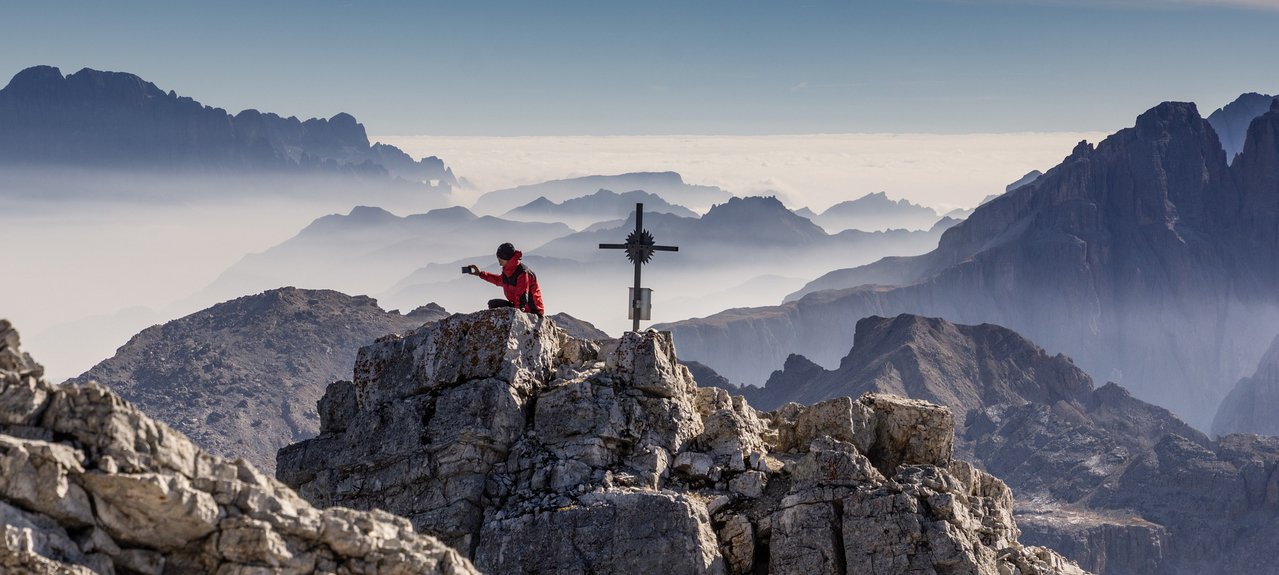
The Kingdom of Volcanoes
Starting from the Tierser-Alpl-Hütte, a nature road begins, from where one can begin the descent. There are signs, such as the one for the Mahlknechthütte. At the first intersection (sign for Duron - no trail number), continue straight ahead on a narrow gravel road until the next fork (sign for Passo Duron). This is the Mahlknechtjoch (or Passo Duron) and the first geological stop of the day (GEOSTOPP G).
Continue to the left (without signage or marking) until you come across a small sign indicating "Mahlknecht Hütte" on a fence. Follow the natural road downhill until you reach the small Dialer chapel, then turn right and shortly afterwards right again onto trail no. 7 (Zallingerhütte). First, you will walk on a nature road, passing a large alpine building, and then on a narrowing path until it joins a gravel road. Continue to the right (trail no. 7 - Zallingerhütte) and uphill on the nature road until shortly afterwards when hiking trail no. 7 (GEOSTOPP H) branches off to the left.
First, you will walk across the meadows of the high pastures, then through the forest until you reach the next fork in a forest clearing. Turn right towards Stampfer-Schwaige. From the Schwaige, follow the natural road that leads to the access road to the Zallinger. Continue up to the Zallinger, then onto the road and at the next intersection, go straight towards the Florianlift mountain station and Williamshütte. Just below the road, turn right and walk on trail no. 7A, sometimes across the ski slope, towards Saltria downhill until the path joins a road. Then turn left and follow the asphalt road to the bus stop and then briefly to the Hotel Saltria.
There, several signs indicate the further way. Walk uphill on the access road, passing the hotel (trail no. 9 - mountain station of the St. Ulrich cable car) and across the alpine meadows of the Great Moos towards the Schgaguler Schwaige. Behind the Sporthotel Sonne, which is located below the Schgaguler-Schwaige, turn right onto trail no. 15 and head towards St. Ulrich downhill.
If you want to shorten the tour, you can take the cable car up to the mountain station (approx. 20 minutes) and then descend to St. Ulrich.