Home Dolomites Summer Seiser Alm Hiking Kastelruth - Panider Sattel
 Seiser Alm
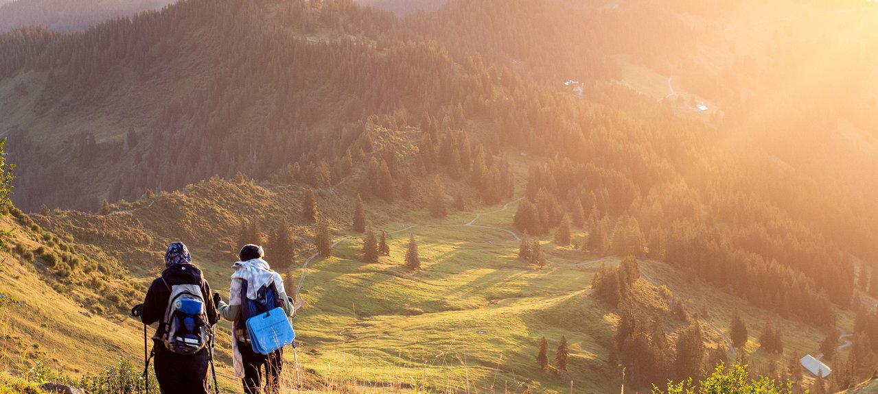
Kastelruth - Panider Sattel
Strenuous
walking time: 4 hours; 13,7 km - difficulty: medium
We will follow trail no. 10, marked by the Bühlenweg, starting from the Hotel Goldenes Rössl. The path takes us to the Tisenser Bach (Tisens stream) at first. After crossing the stream at the Föstlhof, we turn right and hike through beautiful meadows. Along the way, we pass the picturesque Lafayhof. About 50 meters from here, we reach a fork in the road, where we continue on the path that eventually leads us to the Bremicher Platz. We briefly head south, passing the Lafoglerhof before turning east onto the Fuhrweg. We cross the Löchererbach (Löcherer stream) and the path gradually leads us in a wide loop past the Schulhaus (school) and the Mesnerhof (church caretaker's house). Finally, the path merges into the Provinzstraße (provincial road), which we cross directly at the St. Michael Church. We continue to follow trail no. 10 in a northeasterly direction until we reach the Michaeler Weiher (Michaeler pond). Here, we turn right and hike gently, partly through forest landscapes, past the Panider Hof to the Panider Sattel (Panider saddle). From here, we can enjoy a beautiful view of St. Ulrich, the Grödnertal (Val Gardena), the Geisler Group, and the Sellastock. For those who wish to end their hike here, there is the option to take a bus back to Kastelruth. However, we will continue our hike by following trail no. 7 from the Hotel Panider Sattel and traversing the Panider Hochplateau (Panider high plateau) in a westerly direction. After passing the Saxellerhof, the path initially descends quite steeply to the Wasserebene (water level sports area), where we then turn onto trail no. 8 via Tiosels, which takes us back to Kastelruth.