Home Dolomiitit Kesä Villnösstal Pyöräily Around the yoke
 Villnöss
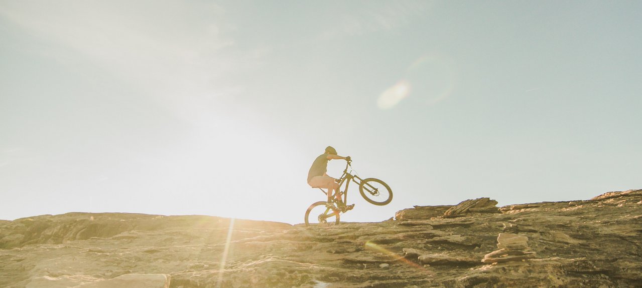
Around the yoke
Medium
Starting point: St. Peter, kilometres: 10.3 km; altitude difference: 324 m; altitude of starting point: 1145 m; altitude of end: 1145 m; Best season: May to October
Tour description: The starting point of the tour is the village centre of St. Peter in the Villnöss valley. Here the route first passes by St. Jakob on an asphalted road. This tour leads you along the slopes of the foresty mountain, which parts the Afer and the Villnöss Valleys. After you reach the beautifully situated “Jochhöfe” (farm houses), you make your way across the saddleback on the northern side. You will be rewarded with a panoramic view to Brixen. After about 3 km of forest road, you return to the south side, past the Tschaufisserhöfe farmsteads to Coll. Crossing the road Coll, continue to the Gsoier Bild and via the Sunnseitenweg back to St. Peter.
Through the Eisacktal/Valle Isarco valley to Klausen/Chiusa turn into Villnöss/Funes valley and drive to St. Peter
Starting point: St. Peter, kilometres: 10.4 km; altitude difference: 350 m; altitude of starting point: 1145 m; altitude of end: 1145 m; Best season: May to October
Tour description: The starting point of the tour is the village centre of St. Peter in the Villnöss valley. Here the route first passes by St. Jakob on an asphalted road. This tour leads you along the slopes of the foresty mountain, which parts the Afer and the Villnöss Valleys. After you reach the beautifully situated “Jochhöfe” (farm houses), you make your way across the saddleback on the northern side. You will be rewarded with a panoramic view to Brixen. After about 3 km of forest road, you return to the south side, past the Tschaufisserhöfe farmsteads to Coll. Crossing the road Coll, continue to the Gsoier Bild and via the Sunnseitenweg back to St. Peter.