Home Dolomiitit Talvi St. Vigil Talvivaellus Snowshoe hike to Col Toronn
 St. Vigil
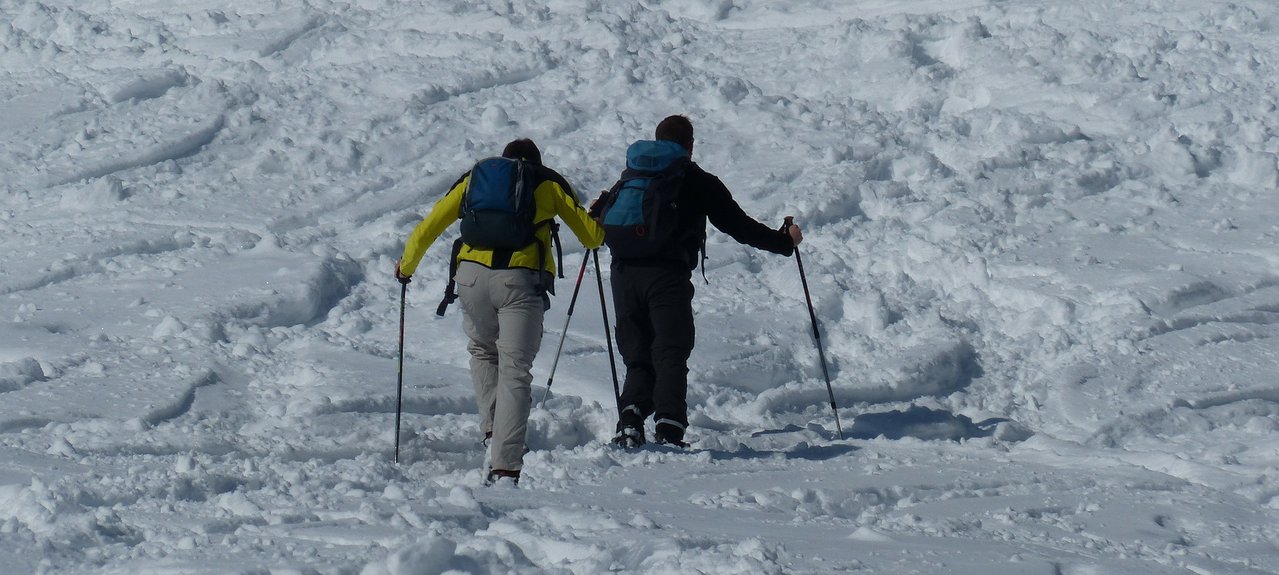
Snowshoe hike to Col Toronn
Raskas
Route: From the car park take the old army road up to Malga Piccolo Fanes. Up to the fork just before the Rifugio Fanes and the Rifugio Lavarella you can generally walk without snowshoes. At the fork turn right and climb across an altitude differential of approx. 100 m through the woods and across meadows (Parliament of marmots) to the plateau Plan de Serenes. From there you can see the peak of Col Toronn situated in front of the distinctive rock face of the Cima Nove. The level path leads westwards for approx. 500 m before becoming steeper, leading towards the Northwest to the ridge top that comes down from the peak of Col Toronn. Continue to climb to the right of the ridge top and in a left curve across easy terrain up to the highest point. Descent: Return by the same route to the Plan de Serenes plateau, then cross over to the South to the Rifugio Lavarella. Alternatively, return to the fork in the path and descend directly by the Rifugio Pederü.
By express highway Rosenheim-Kufstein-Innsbruck-Brenner up to exit "Brixen", where you continue toward the Pustertal (Val Pusteria). After about 20 km on the Pustertal national road, always heading toward Bruneck, you turn off to your right just before St. Lorenzen, into the Gadertal, heading towards Alta Badia. The SS244 carries you up to San Vigilio-Pederü.