DE
/
IT
Menü
DE
/
IT
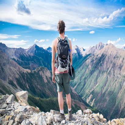
Summer
Mountainbiking-Dolomiten
Escalade - Via ferrata
Randonnée - Dolomites
Winter
Randonnée hivernale
Faire du ski
Ski de fond
Dolomites
Alta Badia
Val Gardena
Drei Zinnen
Eggental
Seiser Alm
St. Vigil
Villnösstal
schlieben
Home
Dolomites
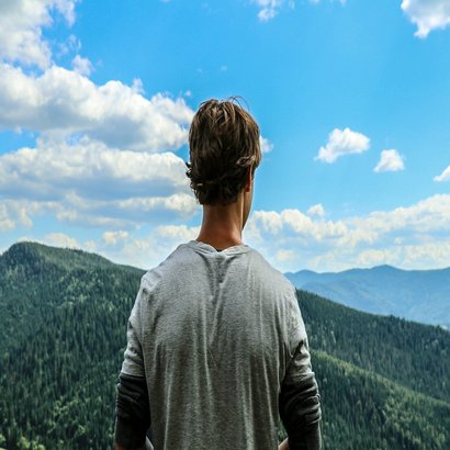
Été
Villnösstal
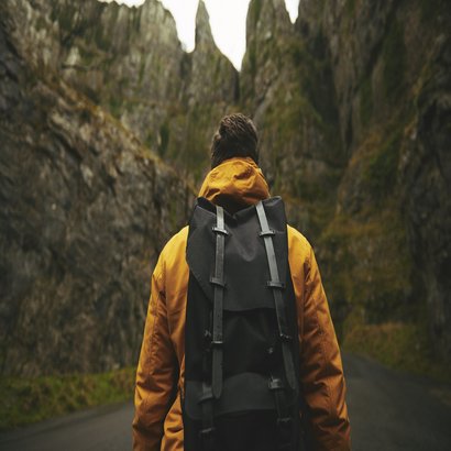
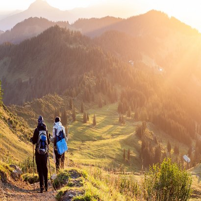
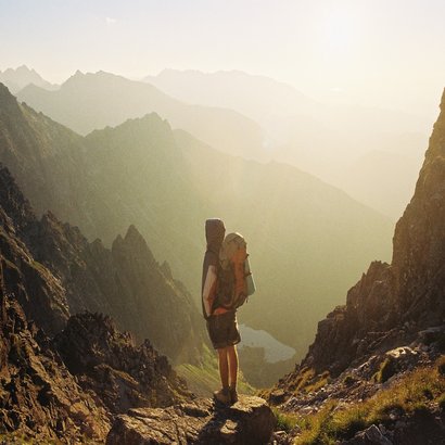
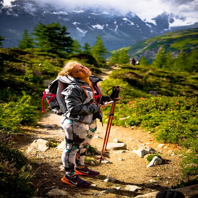
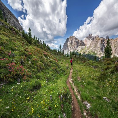
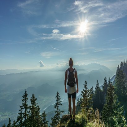
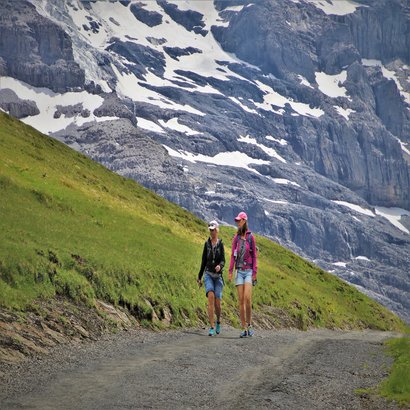
Randonnée
Sportart wählen
Vélo
Escalade
Trailrunning & Fitness
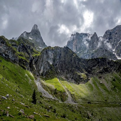
Villnoesstal
Gebiet wählen
Alta Badia
Val Gardena
Drei Zinnen
Eggental
Seiser Alm
St. Vigil
Villnösstal
Randonnée
à Villnöss
Adolf Munkel Trail
Moyen
2h 47min
8,93 km
443 m
Voir le tour
Alpine pasture delight trail
Difficile
5h 32min
15,70 km
905 m
Voir le tour
Farmers Trail
Moyen
2h 48min
8,75 km
500 m
Voir le tour
Dolorama 3. Stage
Moyen
4h 45min
15,84 km
633 m
Voir le tour
Europa Höhenweg 2 - 7. Etappe Südtirol
Effort
3h 28min
9,95 km
789 m
Voir le tour
Geo-Trail - Botanical Instruction Trail
Très facile
0h 26min
1,34 km
83 m
Voir le tour
Geo-Trail - Hill of the Holy Sepulchre
Très facile
0h 8min
0,51 km
16 m
Voir le tour
Geo-Trail - Circular hike lake "Mesner Lacke"
Très facile
0h 15min
0,91 km
24 m
Voir le tour
GEO TRAIL - Demonstration mine
Très facile
0h 47min
2,66 km
96 m
Voir le tour
Hike to Mount Gratschenberg
Très facile
1h 30min
4,91 km
224 m
Voir le tour
“Herrnsteig” hiking tour in Villnöss valley
Effort
3h 38min
10,59 km
799 m
Voir le tour
Historical hike at Teis
Très facile
2h 41min
8,52 km
448 m
Voir le tour
Naturerlebnisweg Zans
Très facile
0h 51min
2,99 km
90 m
Voir le tour
Oberflitz - Raschötz
Effort
4h 31min
13,45 km
924 m
Voir le tour
Peitlerkofel Umrundung
Moyen
4h 0min
12,90 km
633 m
Voir le tour
Rundweg St. Magdalena
Facile
0h 58min
3,21 km
134 m
Voir le tour
Sonnseitenweg-Panoramaweg
Très facile
2h 2min
6,56 km
322 m
Voir le tour
St. Magdalena - Kofelwiese
Moyen
3h 20min
7,93 km
753 m
Voir le tour
St. Peter-Ottohöhe
Facile
3h 2min
9,61 km
515 m
Voir le tour
Über Munt zum Halsl
Très facile
3h 28min
9,88 km
799 m
Voir le tour
Über St. Valentin nach St. Jakob
Facile
1h 54min
6,33 km
266 m
Voir le tour
Von Ranui zur Geisler Alm
Moyen
3h 30min
11,10 km
587 m
Voir le tour
Von Zans zur Gampenalm
Moyen
2h 19min
7,29 km
399 m
Voir le tour
Zans - Glatsch - Dusler - Zans
Moyen
1h 38min
5,21 km
279 m
Voir le tour
Zans - Schlüter Hütte - Kreuzjoch
Effort
4h 10min
10,93 km
770 m
Voir le tour
Zum Flitzer Wasserfall
Facile
1h 52min
6,06 km
292 m
Voir le tour
Passende
Unterkunft
finden
Datenschutz
/
Impressum

 Alta Badia
 Val Gardena
 Drei Zinnen
 Eggental
 Seiser Alm
 St. Vigil