Home Dolomieten Zomer Villnösstal Fietsen Rasciesa/Raschötz
 Villnöss
Rasciesa/Raschötz
Moeilijk
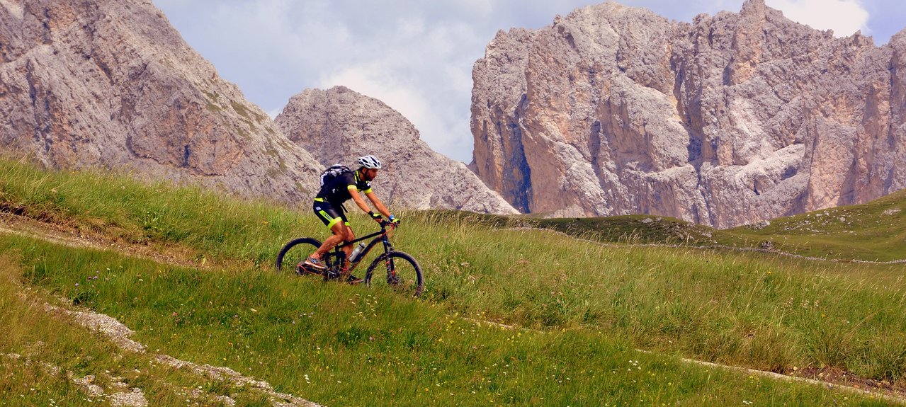
This tour leads you along the shady forest roads to the Tschannjoch. On a road paved with large stone. Starting point: St. Peter Kilometres: 38 km Altitude: 1200 metres about sea level Altitude at start: 1105 metres Altitude at finish: 1105 metres Best season: june - oktober Highest point: Brogles Saddleback: 2,119 metres Description of route: This tour leads you along the shady forest roads to the Tschannjoch. On a road paved with large stone slabs (approx.30 min pushing and/or carrying your bike) you will reach Auserrachötz. Here, you will find one of the most beautiful look-out points in the South Tyrolean mountains (Val Gardena Dolomites, Kastelruth, Ritten, Ortler). From here, you drive on a good road, having the Geisler Group always in your view, until you come to the Broglesalm, where you begin the more difficult descent into the Villnöss Valley. You will come across points, where even the professionals prefer to take their bike and walk. Raschötz can also be reached via the Flitzer Gab (30 min pushing and/or carrying your bike). This route is about 12 km shorter.