DE / IT

Hiking highlights and hikes on the Seiser Alm / Alpe di Siusi

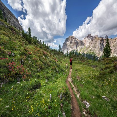
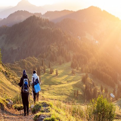
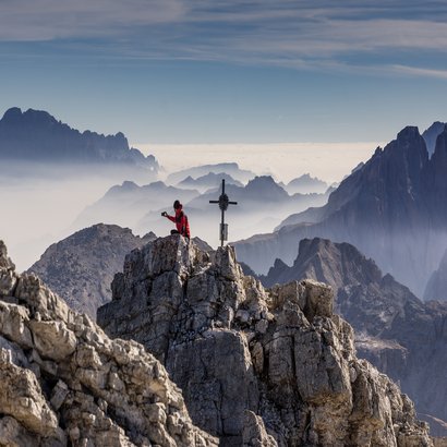
The Alpe di Siusi in the South Tyrolean Dolomites is the largest high alpine pasture in Europe and part of the UNESCO World Heritage. The ideal starting point for unforgettable hikes. With 300 days of sunshine and 450 kilometres of hiking trails, the region offers numerous hiking highlights. These include hikes in South Tyrol's oldest nature park, the Schlern Rosengarten Nature Park. From Siusi allo Sciliar you can reach the high alpine pasture in an environmentally friendly way with the Alpe di Siusi cable car. A hike on the Schlern, the landmark of South Tyrol and mountain of the Dolomites, can be reached from there and is definitely worth a hike.

Discover what the Alpe di Siusi has to offer here: All hiking trails equipped with the different levels of difficulty, duration, altitude metres and GPX files. In addition, we offer you the suitable hiking hotels of the holiday region Alpe di Siusi. Your hiking holiday can begin.

Wandern
auf der Seiser Alm

Dolomites World Heritage Geotrail II

Anstrengend

18h 5min 200,86 km 12698 m

Around the Rotwand

Mittel

4h 0min 6,70 km 390 m

Vajolet Towers Tour

Anstrengend

6h 10min 18,68 km 1205 m
Pilzeweg - Seis

Soppstien i Laranzer-skogen

Leicht

1h 43min 6,01 km 173 m

Heksebenkene på Puflatsch

Leicht

2h 36min 8,39 km 413 m

Fottur rundt Völser Weiher

Sehr leicht

0h 20min 1,20 km

Den Geologiske Stien

Anstrengend

3h 19min 9,30 km 963 m

Den heksefontenene i Saltria

Sehr leicht

1h 31min 2,10 km 87 m

Heksestolene og Marinzen Alm

Leicht

1h 53min 6,03 km 305 m
Seiser Alm Dolomites - St.Oswald

Fra Seis til St. Oswald

Mittel

2h 51min 9,93 km 305 m

Fra Völs til Schloss Prösels

Leicht

1h 30min 4,38 km 137 m

Waldacker-veien

Leicht

1h 8min 3,61 km 192 m

Fottur på Schneid

Anstrengend

6h 36min 21,65 km 955 m

Hans og Paula Steger-veien

Mittel

2h 10min 8,70 km 301 m
Gumpererweg Seiser Alm

Gumperer-veien

Mittel

2h 30min 5,56 km 254 m
Kastelruth Kofel - Panorama

Rundtur rundt Kofel i Kastelruth

Sehr leicht

0h 30min 0,90 km 44 m

Vandring på Seiser Alm

Leicht

3h 0min 6,00 km 43 m

Oswald von Wolkenstein-stien

Leicht

2h 0min 5,70 km 280 m

Kastelruth – Waidbruck

Leicht

1h 54min 7,13 km 106 m

Hytte-til-hytte fottur i hjertet av Dolomittene

Anstrengend

10h 28min 32,90 km 1794 m
Seiser-Alm-Dolomites-Tisens-Dorfkern

Kastelruth - Tisens - Tagusens

Mittel

2h 30min 6,00 km 108 m

Kastelruth - Panider Sattel

Anstrengend

4h 6min 13,75 km 544 m

Kastelruth – Compatsch (Seiser Alm)

Anstrengend

3h 15min 8,53 km 876 m

Völser Rundweg

Leicht

1h 48min 3,20 km 123 m

7 innsjøer fottur

Mittel

3h 47min 13,23 km 394 m
Königswarte - Seiser Alm

Turen rundt Laranz

Leicht

1h 24min 5,60 km 188 m

Ochner Höfeweg gårdssti

Mittel

3h 19min 11,30 km 610 m

Passende
Unterkunft
finden