Home Dolomity Lato Alta Badia Kolarstwo Bike Beats - Fle Trail
 Alta Badia
Bike Beats - Fle Trail
Easy
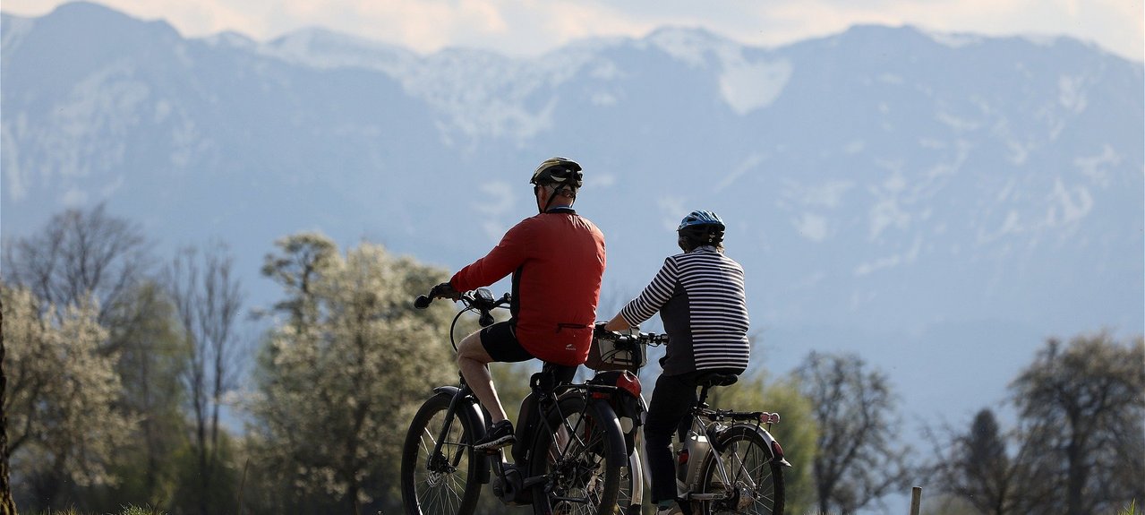
Bike Beats Pralongiá is a trail which goes through the meadows downhill from the Pralongiá. It is a medium-easy trail (blue) with a total length of 1120 metres and an altitude difference of 134 metres.
*By car
- Coming from Innsbruck: take the A13 and the A22 toll motorway and exit at Bressanone/Brixen, following the signs to Brunico/Bruneck along the Val Pusteria/Pustertal road as far as S. Lorenzo/St. Lorenzen. Follow the signs to Val Badia/Gadertal
- Coming from Verona - Bolzano: take the A22, exit at Bressanone/Brixen and continue as above
*By train
The nearest train stations are:
- Brunico - 37 km
- Bolzano (via Passo Gardena) - 72 km (via Brunico) - 100 km
- Connection train station - Alta Badia by the local bus SAD: www.sii.bz.it
*By air
- Innsbruck - 130 km
- Munich - 330 km
- Venice Treviso / Venice Marco Polo - 180 km / 200 km
- Verona - 213 km
- Milan Bergamo / Milan Malpensa - 310 km / 400 km
- Information airport transfer: www.altoadigebus.com - www.cortinaexpress.it
The trail starts from the forest road which descends from the Pralongiá or, when arriving from the other side, at the end of the mixed path (pedestrians-bikes) always going down the Pralongiá (alongside Biok). The Bike Beats Pralongiá trails start with a series of berms on the green hills of the meadows at the foot of the Pralongiá. It continues with some jumps (and alternative trails if you want to avoid them) and large berms. Without almost noticing it, you will also cross a swampy area going across a wavy north shore nicely blended into the scenery of the hills. Near the end, the bends start to become narrower, allowing more experienced bikers to pick up speed and make quicker turns. The trail then joins a dirt road which takes towards Planac.
Do not worry, the last section to reach the bottom of the valley is almost ready.