Home Dolomites Summer Alta Badia Hiking The Dolomites High Route n. 9
 Alta Badia
The Dolomites High Route n. 9
Very difficult
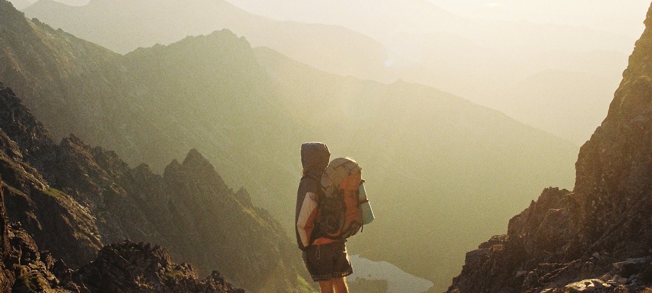
The route of the the Dolomites High Route n. 9 , unlike most other Dolomite High Altitude Trails, runs as a transversal from west to east over the ridges of the Dolomites, most of which rise from south to north.
Long-distance hiking trail with panoramic views
The Dolomites High Trail No. 9 starts in the provincial capital of South Tyrol, Bozen/Bolzano, then crosses South Tyrol and part of the province of Belluno. The stages of the long-distance hiking trail are really short and therefore also suitable for hikers with less physical condition. This long-distance hike takes you to the most beautiful places in the Dolomites. The route is taken within 12 to 14 days.
Stage 1: Bozen/Bolzano - Tiers-Weißlahnbad/Tires-Lavina Bianca
Stage 2: Tiers-Weißlahnbad – Grasleitenhütte
Stage 3: Grasleitenhütte – Tierser-Alpl-Hütte
Stage 4: Tierser Alpl Hütte - Plattkofelhütte
Stage 5: Plattkofelhütte - Sellajoch
Stage 6: Sellajoch - Boèhütte
Stage 7: Boèhütte - Franz-Kostner-Hütte
Stage 8: Franz-Kostner-Hütte - Berghaus Pralongià
Stage 9: Berghaus Pralongià - Valparolapass
Stage 10: Valparolapass - Rif. Lagazuoi
Stage 11: Rif. Lagazuoi - Rif. Pomedes
Stage 12: Rif. Pomedes - Cortina d'Ampezzo
Stage 13: Cortina d'Ampezzo - Rif. Son Forca
Stage 14: Rif. Son Forca - Rif. Col de Varda
Stage 15: Rif. Col de Varda - Rif. Fonda Savio
Stage 16: Rif. Fonda Savio - Auronzohütte
Stage 17: Auronzohütte – Dreizinnenhütte
Stage 18: Dreizinnenhütte - Zsigmondyhütte
Stage 19: Rif. Comici – Rif. Berti / Zsigmondyhütte - Rif. Berti
Stage 20: Rif. Berti – Biv. Piovan
Stage 21: Biv. Piovan - Passo Zovo
Stage 22: Passo Zovo - Danta
Stage 23: Danta - Santo Stefano