Home Dolomites Summer Seiser Alm Hiking Hike on the Schneid
 Seiser Alm
Hike on the Schneid
Strenuous
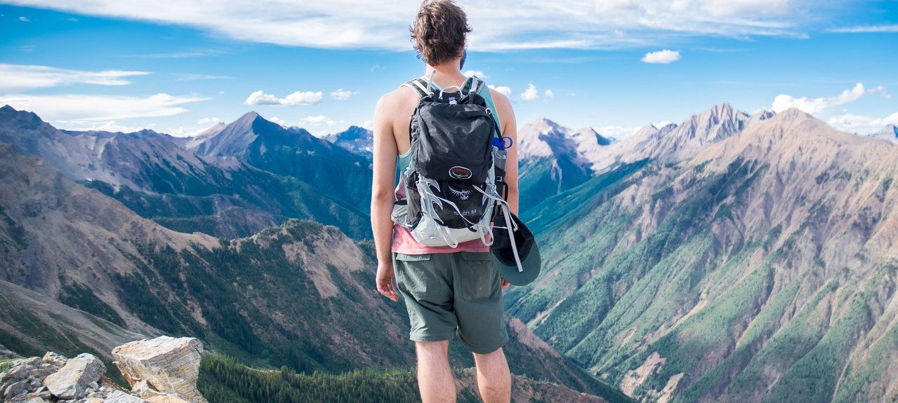
The Schneid is a hike along the border between South Tyrol and Trentino and offers a real ridge hike. Although the hike is not technically challenging, it requires a certain amount of stamina due to its length. However, the effort is rewarded with breathtaking views of the Dolomites in South Tyrol and Trentino.
The hike starts in the town center of Compatsch. It is recommended to arrive by the Seiser Alm cable car or bus line 10. The road to the Seiser Alm nature reserve is closed to private traffic from 9:00 a.m. to 5:00 p.m. Within these hours, you can reach the Seiser Alm by cable car or bus. The departure from Compatsch is possible at any time.
The hike starts at the mountain station of the Seiser Alm cable car and leads past the information office to the right towards Panorama. Then it continues over the Hotel Goldknopf and the Almrosenhütte to the Mahlknechthütte. The path runs over a small stream and leads uphill to the Plattkofel. The trail along the Schneid then gently rises and falls without significant altitude differences until reaching the Plattkofelhütte. During the hike, beautiful views of the Plattkofel, the Seiser Alm, the Schlern and the Durontal can be enjoyed. The highest point of the hike is reached at the Fassajoch.
From Berghaus Zallinger and Hotel Tirler, the trail descends to Saltria and from there on foot to Compatsch. Alternatively, it is also possible to return by bus from Saltria to Compatsch.