Home Dolomites Winter Seiser Alm Winter hiking Hike from Seis to Kastelruth
 Seiser Alm
Hike from Seis to Kastelruth
Very easy
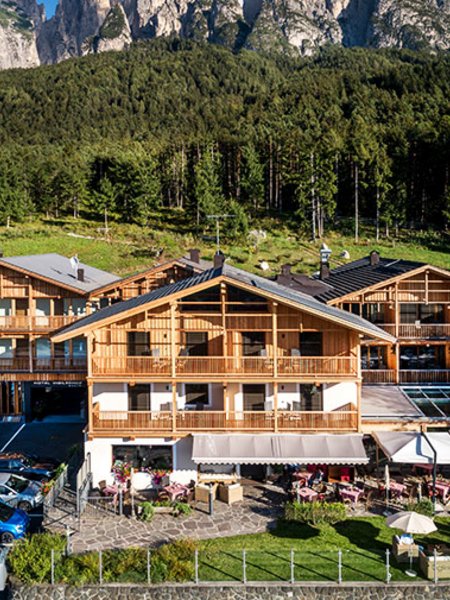
A pleasant and sunny hiking trail that leads from Seis to Kastelruth. It offers beautiful views of the villages at the foot of the Schlern and the imposing Santnerspitze.
The bus line 170 takes you from Kastelruth and Völs am Schlern to the starting point in the center of Seis am Schlern. There is also parking in the underground garage in the center.
The starting point of the hike is in the center of Seis am Schlern, about 80 meters after the post office. From there, cross the street and follow the paved path number 7 towards Kastelruth.
After about 15 minutes, you will reach a fork in the road where you can turn left to the St. Valentin Chapel. The chapel offers a great view of Seis. Continue following the path until you cross the Seiser Alm Road. After another 10 minutes, you will reach the Pestkreuz (which used to be the plague cemetery) and the Scherer Platzl. Here, the path joins path number 6. Continue following the path until you reach the Liftstübele. From there, follow the Marinzenstraße to Kastelruth.
The hike is about 4.5 kilometers long and takes about 2 hours. The path is well-maintained and suitable for families with children. The hike ends in Kastelruth. From there, you can take bus number 170, 3 or 3A back to Seis.
Also recommended in the opposite direction, beginning in Kastelruth