Home Dolomity Lato Villnösstal Kolarstwo The stream of Afers
 Villnöss
The stream of Afers
Średni
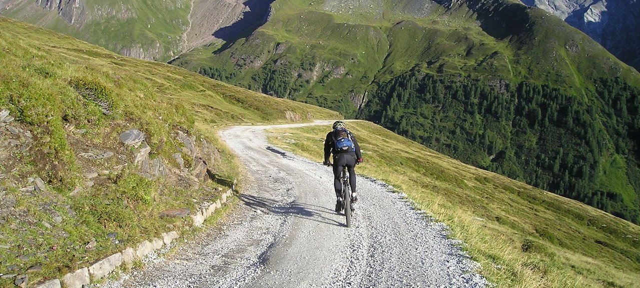
The Transalp Challenge 2001 followed the path along the Afer stream – a long but comfortable ascent.
Best season: April - October
Starting point: St. Peter Kilometres: 33 km Altitude: 1550 metres above sea level Altitude at start: 1105 metres Altitude at finish: 1105 metres Highest point: Russis bridge: 1,735 metres
The Transalp Challenge 2001 followed the path along the Afer stream – a long but comfortable ascent. From St. Peter, you make your way to the Jochhöfe (farm houses). From here, you drive down to Teis and then to Albeins, where the Afer Stream path (Transalp 2001) begins. Drive along this path until you reach the Brixen Dolomite Road, which you will leave after 360 metres (turn right). On an 8 km long forest road, you will pass the first farm houses above the Villnöss Valley. This route can be extended with detours to the Plose or the Würzjoch mountains.