Home Dolomity Lato Villnösstal Wędrowanie Farmers Trail
 Villnöss
Farmers Trail
Średni
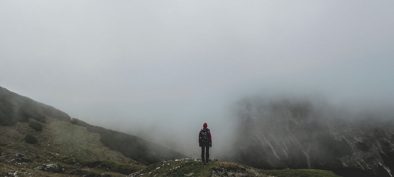
The farmers trail is the former connecting route between Coll and the village centre of St. Peter and was used by the farmers to get to school and to church. The historic farms, the picturesque chapels and wayside shrines and the majestic pale mountains, the Odle, will enchant you.
Through the Eisacktal/Valle Isarco valley to Klausen/Chiusa turn into Villnöss/Funes valley and drive to St. Peter
Hiking time: 3h 10min • Trail numbers: 11, farmers trail (symbol: rooster), sun trail (symbol: sun) • The trail starts nearby the village centre of St. Peter (1150 m) in the sharp bend beneath the Töglhof. The stone-paved trail no. 11 leads up to the farm Gsoihof (mentioned for the first time in 1288; the historic cellar dates back to the 16th century). Continue on passing by the biotope “Veltierer Zente” until you reach the chapel Vikoler (1348 m). From here, the farmers trail runs through the dense forest of Coll to the farm Feldthunerhof (1564 m; mentioned for the first time in 1350 and protected since 1984). Follow down the trail in the direction of St. Magdalena (1369 m) and continue on the sun trail (symbol: sun), on which you pass by the wayside shrine (1193 m), to return to St. Peter. Alternatively, you can return to St. Peter hiking on the panoramic trail which is indicated by the symbol of the mountains.